Thermal deer recovery Northwest Ohio | Custom property maps Ohio and Michigan | Livestock searching Graytown Ohio
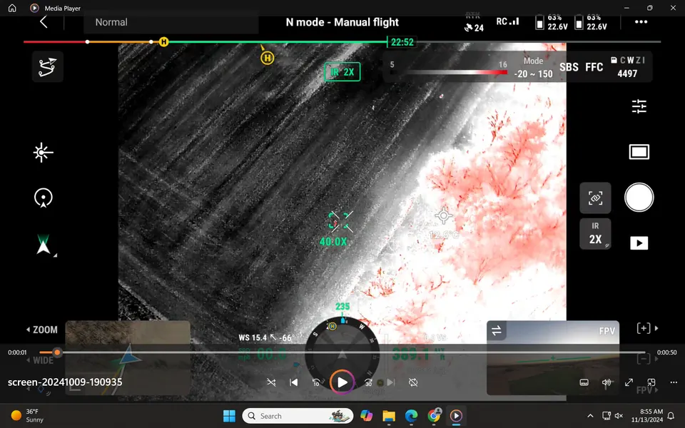
At NWO Drone Service, we specialize in cutting-edge thermal drone technology to help hunters locate deer efficiently and discreetly. Whether you're tracking wounded game or surveying an area, our services ensure minimal disturbance to the environment and eliminate the risk of pushing deer onto neighboring properties.
With proven expertise in drone recovery, aerial mapping, and high-definition imaging, we offer a reliable, respectful solution for hunters who want to enhance their success while honoring the land and local regulations.
Let us help you recover what matters—quickly, legally, and ethically.
NWO Drone Service
Thermal Drone Deer Recovery & Aerial Property Mapping in Ohio
Fast, Reliable Drone Services for Hunters, Landowners & Farmers
Why Choose NWO Drone Service?
-State-of-the-Art Thermal Drones
-Ethical & Efficient Wildlife Recovery
-Serving Northwest Ohio & Surrounding Areas
Schedule a recovery | Property Mapping
Mon - Sun
Open 24 Hours
17926 W Walbridge East Rd, Graytown, OH 43432, United States